The UNI GeoTREE Center has developed a web mapping portal to provide interested citizens and businesses in Iowa access to modeled potential solar radiation for all locations in Iowa. The web portal, entitled Iowa Solar Asset Mapping (ISAM), provides the ability to zoom anywhere based on an address or location in the state and define an area of interest and see estimated annual and monthly solar radiation values. It also provides estimated solar radiation values for known building footprints in several counties in Iowa (Johnson, Polk, Pottawattamie, Scott, and Story).
The modeled potential solar radiation geographic data was derived using the Iowa statewide LiDAR dataset (link) and the ArcGIS Solar Radiation toolset (link). The computationally intensive effort (thousands of hours of computing time) was distributed over computers in the GeoTREE Center as well as the UNI Geography teaching lab using a set of Python scripts and queue management software. The resulting modeled potential solar radiation data totaled more than 3 terabytes of data.
The ISAM application should only be used as an investigative screening tool and not for final decisions on where to place solar installations.
The project was funded by the Iowa Economic Development Authority Energy Office. Any questions should be addressed to John DeGroote of the UNI GeoTREE Center at john.degroote@uni.edu.
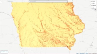
Iowa Solar Asset Mapping portal